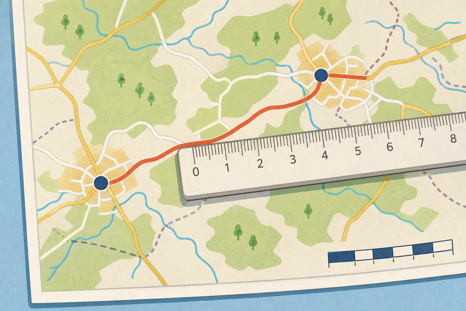
Here is a map of part of Ireland. Down in the corner it says the scale: 1 cm = 2 km.
Two towns on the map sit 3 cm apart on the paper. How far apart are they really, out on the ground?
Watch how each measured centimetre turns into a real distance. Read the scale first every time, and be ready to say the rule you spot.
Your teacher will hand you a printed map with three routes marked on it: the straight road, the river crossing and the coast path. You will also need your ruler. The scale on the map is 1 cm = 2 km.
Measure each one to the nearest half-centimetre, then multiply by 2 to find the real distance in kilometres.
We measure and convert the three routes together, in the order they are listed on your map.
In your maths copy, write the scale at the top: 1 cm = 2 km.
Then, for each map distance you measured, write the map distance in centimetres, the multiplication you did, and the real-world distance in kilometres, one under the other:
Using your printed map (scale 1 cm = 2 km), work through these, getting harder as we go:
The last one works backwards, just like the fourth board earlier: we divide instead of multiply.
Using the printed map with scale 1 cm = 2 km, find the real distance for each measured route, then work backwards to find a map length from a real distance.
Ways to start:
Stretch:
You're previewing this lesson. Get full access to this lesson and hundreds more — each one ready to teach, with interactive activities, printable resources and pupil progress tracking built in.