Look at the map of Ireland’s counties and provinces on the board.
Where is our county? Which province does it sit in?
Our question for today is how we find and name places on maps of Ireland and Europe, and how we say where famous landmarks belong.
Let's find out how a geographer reads maps of Ireland, Europe and the world.
This map shows the shape of Ireland’s land, but it names nothing. Pins mark rivers, lakes, mountains and cities.
- Look at one pin with a question mark. Is it a river, a lake, a mountain or a city?
- What do you think its name is? What on the map tells you?
- When its name opens, were we right? What does it sit near?
We go round the island until every pin has its name.
Can we name them?
In your copy, draw the outline of Ireland. Mark and name our county and our province.
Then mark one river, one lake or mountain, and one city you can name on the map of Ireland.
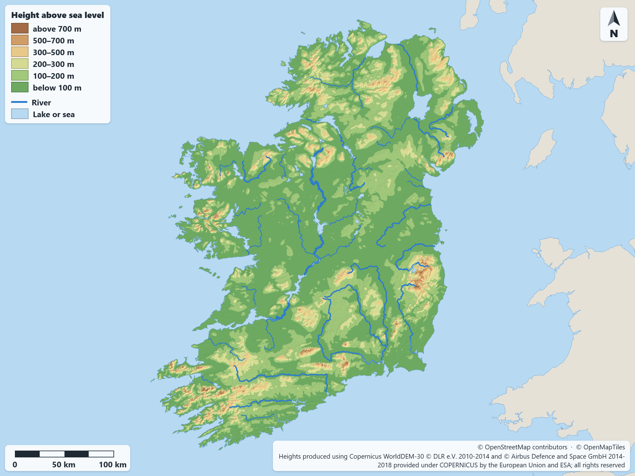 © OpenStreetMap contributors · © OpenMapTiles · Heights produced using Copernicus WorldDEM-30 © DLR e.V. 2010-2014 and © Airbus Defence and Space GmbH 2014-2018 provided under COPERNICUS by the European Union and ESA; all rights reserved
Unlock the full learning experience
You're previewing this lesson. Get full access to this lesson and hundreds more — each one ready to teach, with interactive activities, printable resources and pupil progress tracking built in.
This lesson is copyright of 123Learn.ie 2017 - 2026. Unauthorised use, copying or distribution is not allowed.